 Catàleg de dades IDE menorca
Topic
boundaries
Type of resources
Available actions
Topics
Keywords
Contact for the resource
Provided by
Years
Formats
Representation types
Update frequencies
status
Scale
Resolution
From
1
-
2
/
2
-
This dataset is the definitive set of locality boundaries for the state of Victoria as defined by Local Government and registered by the Registrar of Geographic Names. The boundaries are aligned to Vicmap Property. This dataset is part of the Vicmap Admin dataset series.
-
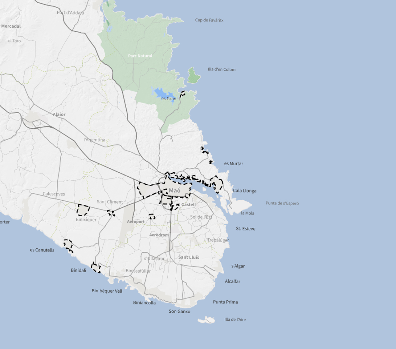
Delimitació del sòl urbà. La capa cartografia la classificació del sòl : Sòl Urbà (SU). Aquesta capa correspon a la sèrie "Ordenació del Sòl Urba i Urbanitzable" del Pla General d'Ordenació Urbana de Maó. Cada sèrie es representa amb una simbologia diferent.